
The Westfjords Way
New films out now!

Back in the heady days of 2024, I cycled the length of Japan with a few good friends. I decided to film the whole thing, and that became my first long-distance cycle documentary.
In April 2025, I took on LEJOG, and in the hazy exhaustion that accompanied the end of that trip, I assumed I’d be done with long-distance cycling for a while. But then my friend Kaz Firpo — who’d accompanied me on the final leg of Japan trip — rang me up and asked if I’d be up for another adventure.
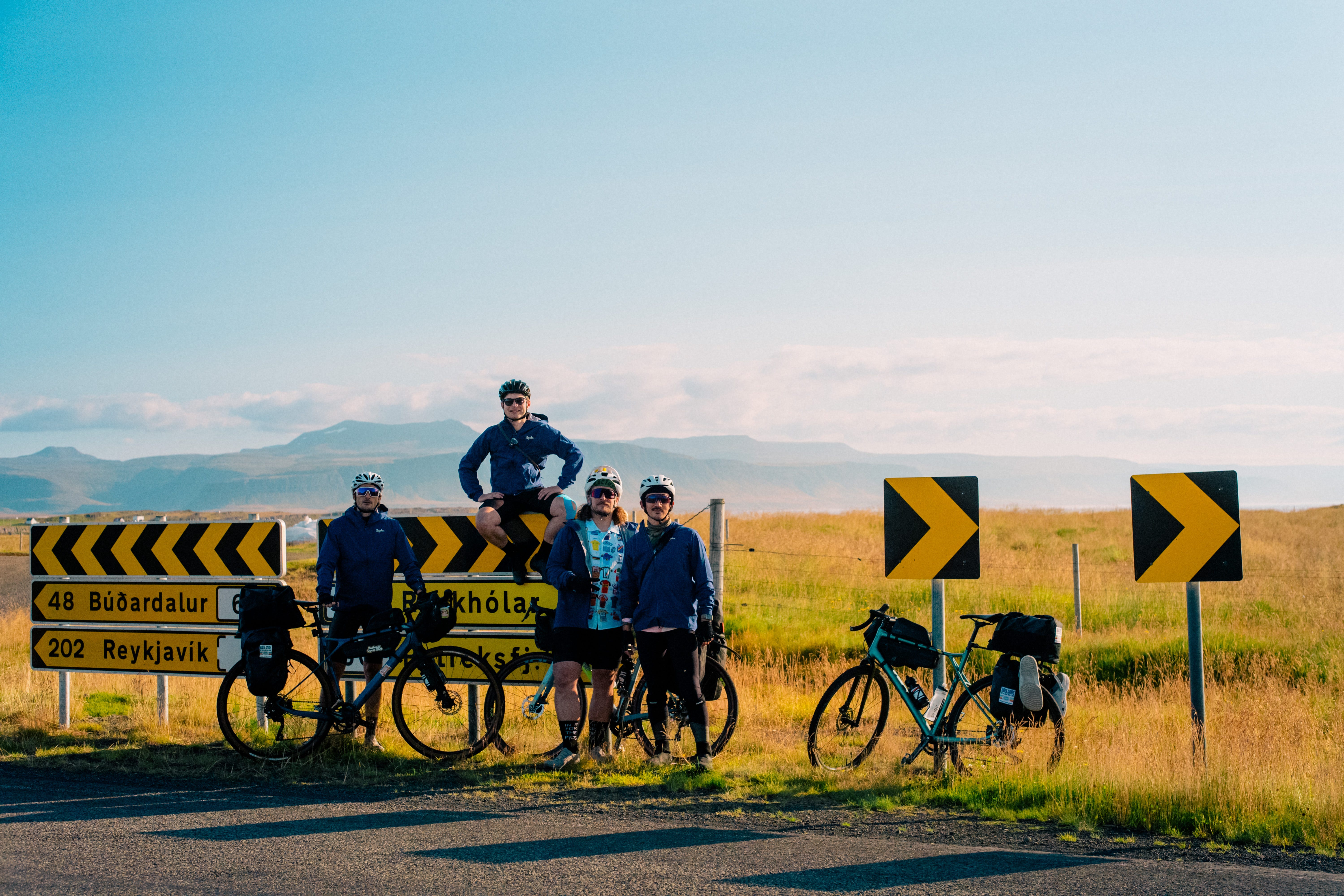
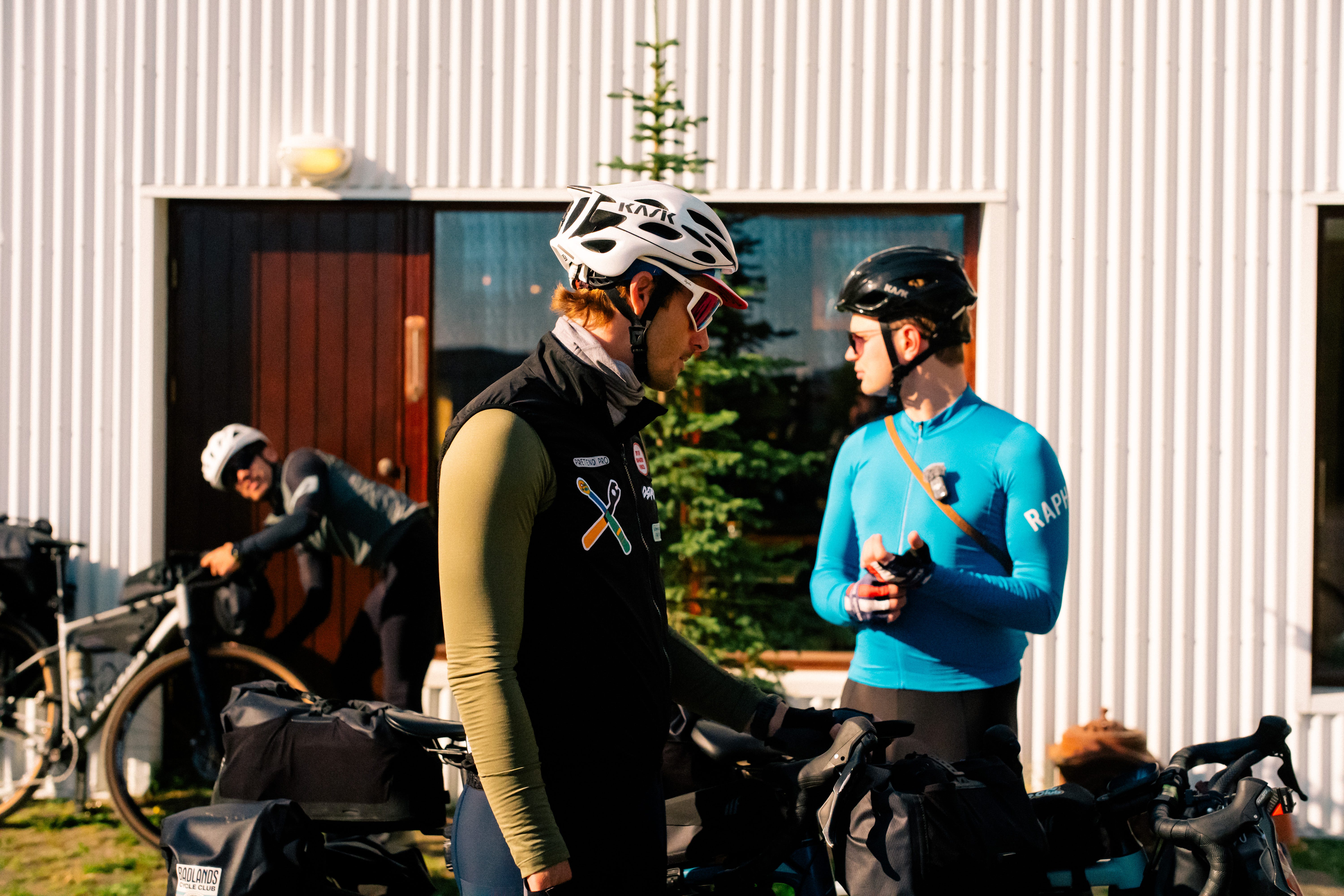
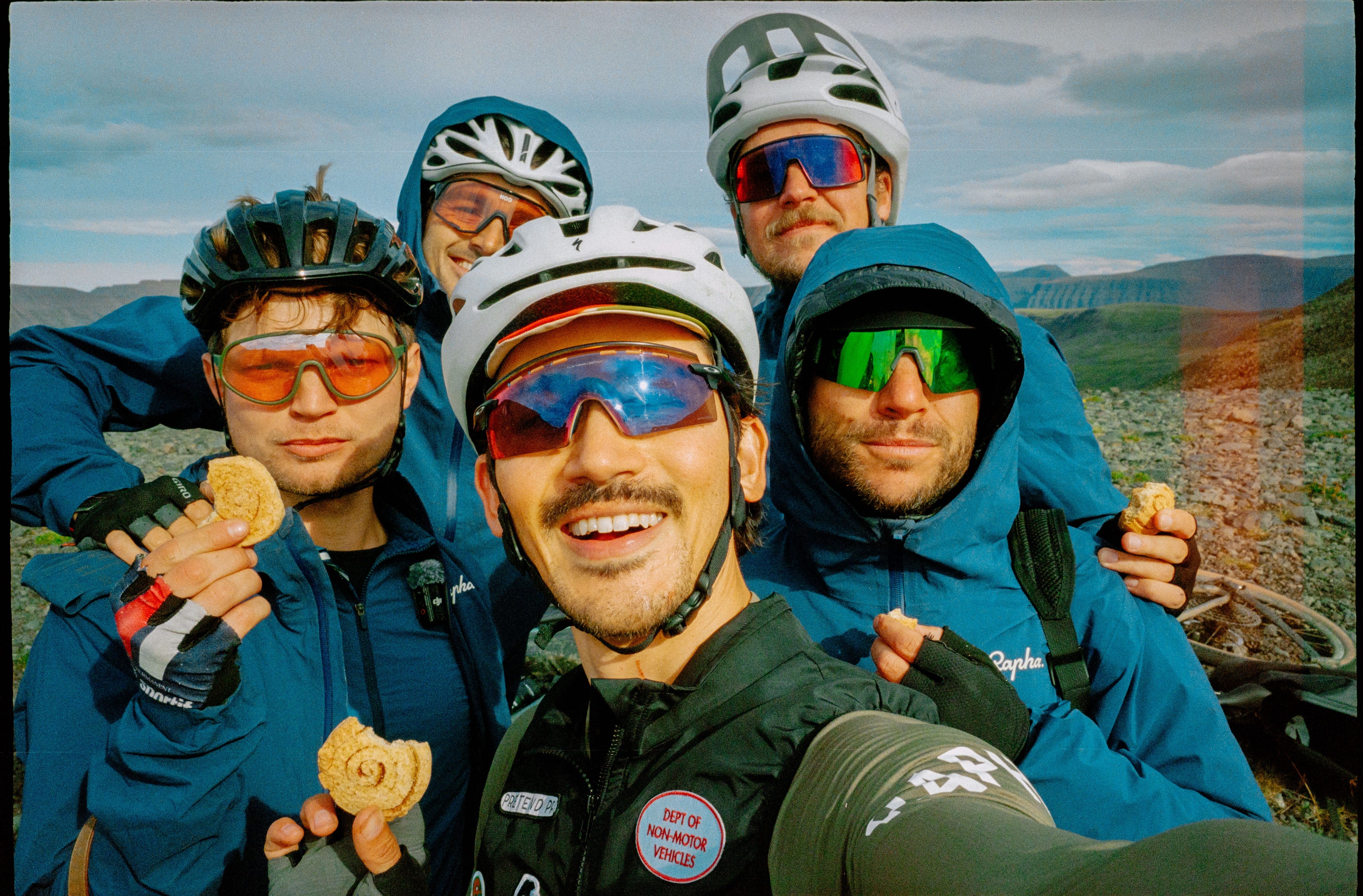
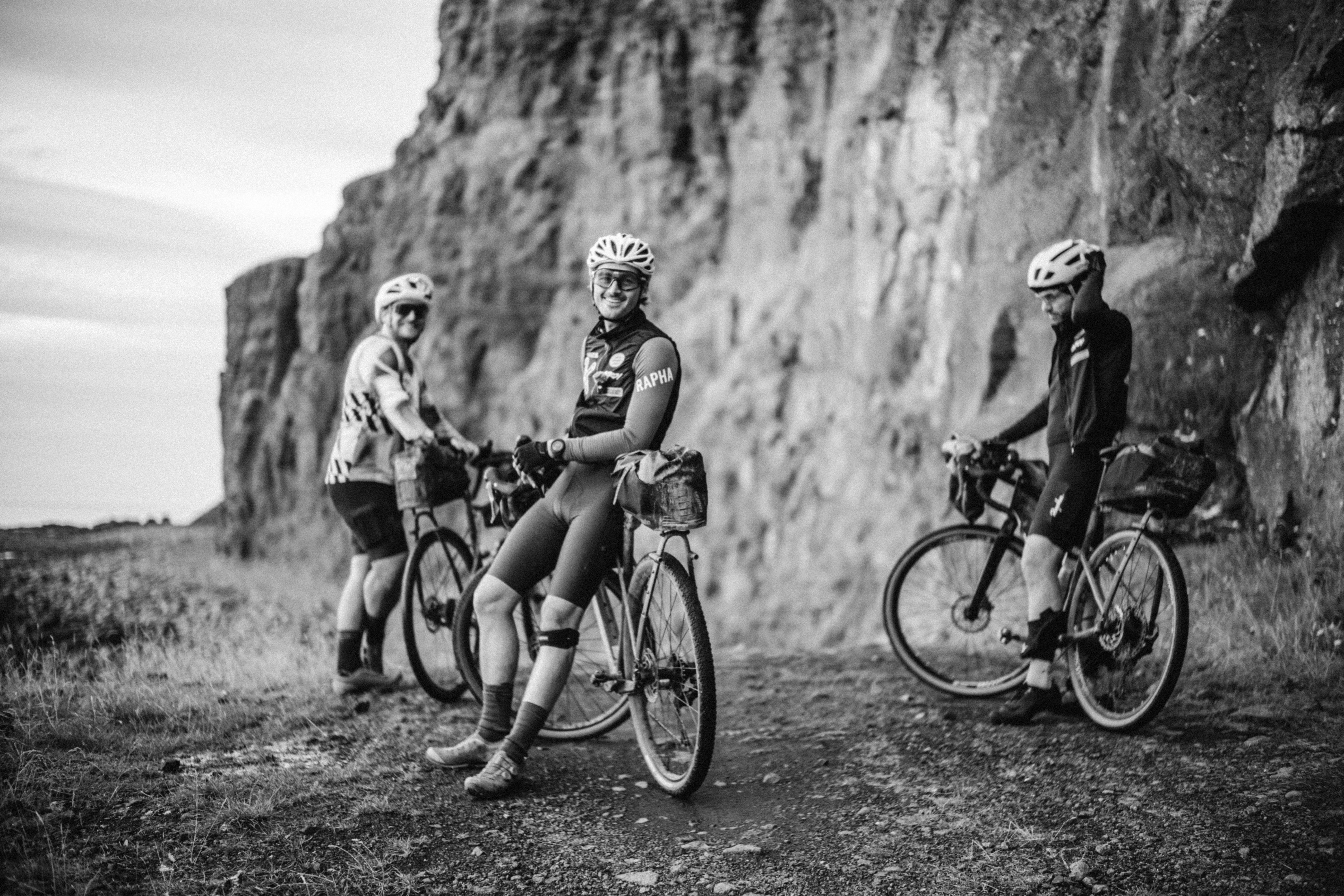
We compared a few routes, and decided on The Westfjords Way, an 800km route in the northwest of Iceland, just below the Arctic Circle. We gathered a gang of friends and film makers — six of us total — and congregated in Ísafjörður in mid-August for the start of our trip.
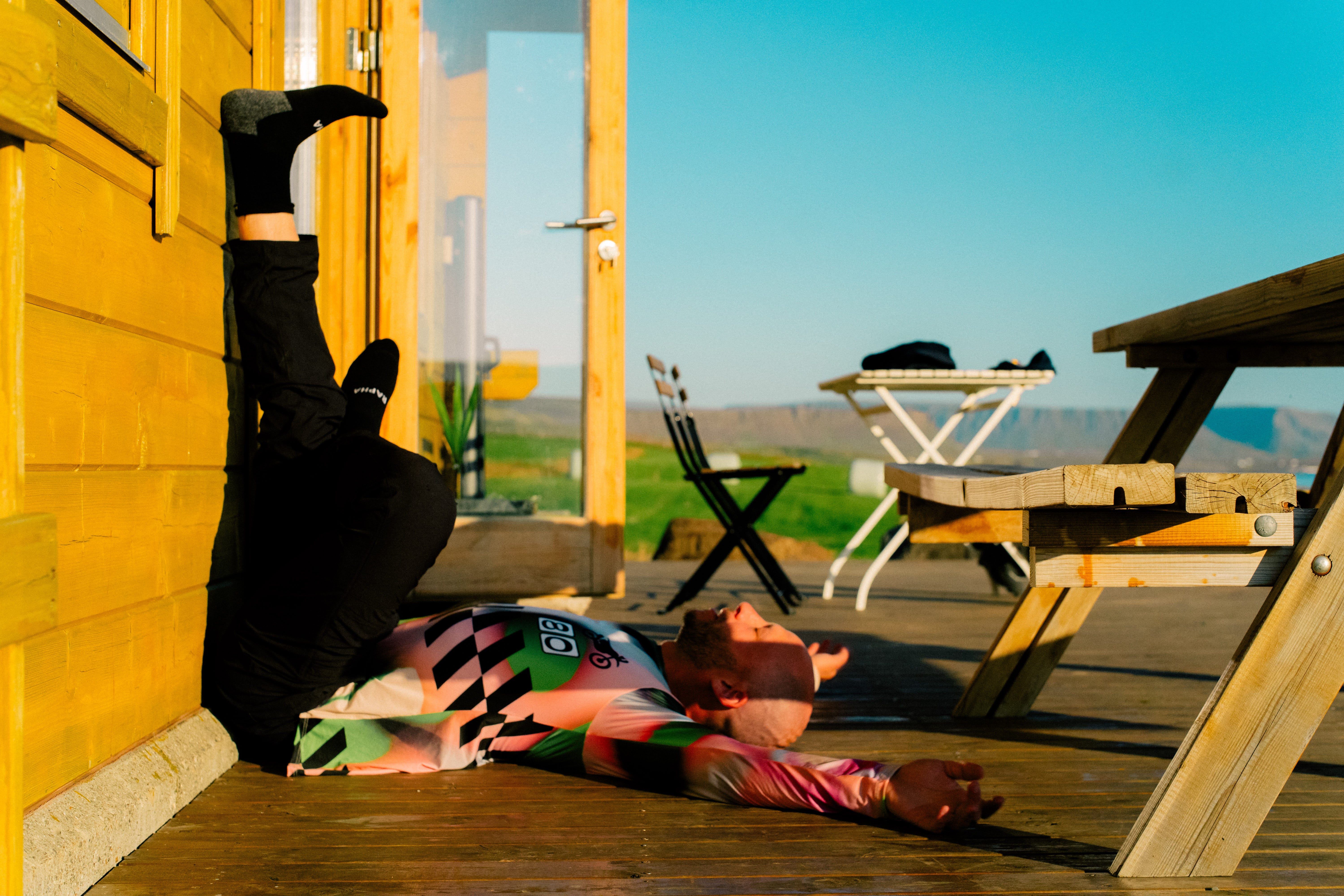
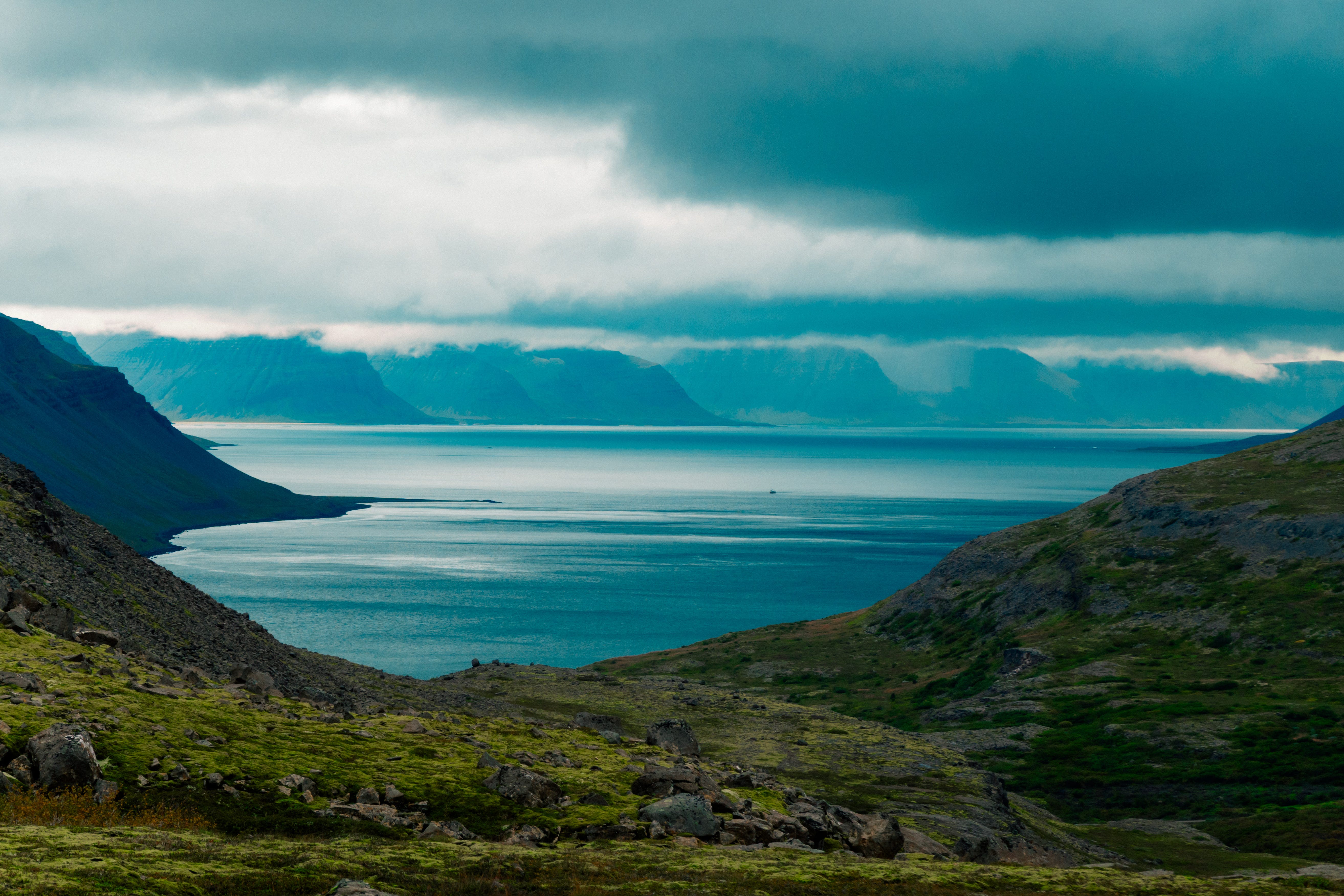
It was by far the most remote and brutal ride I’ve ever attempted, with long days, steep climbs, and some fiendishly tricky gravel roads to navigate. But it was also one of the most beautiful places I’ve ever cycled, with deep fjords, 100-meter tall waterfalls, and a sun that never seemed to set.
It was a landscape that demanded to be filmed, each bend in the road revealing a new visual treasure, becoming more and more impressive the further we got from civilisation. Needless to say, we shot a lot of footage, from which we’ve crafted two films, both of which are now live on YouTube:
A 40-minute documentary, narrated by me, capturing the full adventure: the twists and turns, the hot springs, sore knees and punishingly beautiful sea roads.
A 3-minute hero film — a cinematic love letter to the Westfjords, narrated by Kaz Firpo and Finn Harries.
I hope you enjoy the films, it’s been a huge amount of fun putting them together, and it was a joy to work with such talented people to make them happen, particularly:
Kaz Firpo, Finn Harries, Jeremy Snell, Minka Fathing-Kohl and Trent Kusters, for riding and filming with me.
My sister, Alice, for letting me use her music, and Tom Kilburn for his work on graphics.
Everyone who provided feedback on early drafts of the film.
Tyler and Wade at the Fjordhub who saved us from disaster on more than one occasion.
And our friends at Rapha, Tailfin, Ostroy, Visit Westfjords and Leica for providing support throughout.
Thanks, as always for reading, and to everyone who gave me Italy tips off the back of last week’s email. Please share the films far and wide with anyone you think might enjoy them.
Oscar
How To Cycle The Westfjords Way
If you’ve watched the films and are curious about our route, this next section is for you. For the latest adventures, subscribe to me on the following:
Below, you’ll find a link to all my GPX files of my route. This guide is free of charge. If you find it useful, and can afford to, please consider supporting my next adventure, thank you. On this Substack, you can also find my guides to cycling the length of Japan, and the length of the UK.
The Basics
Why the Westfjords?
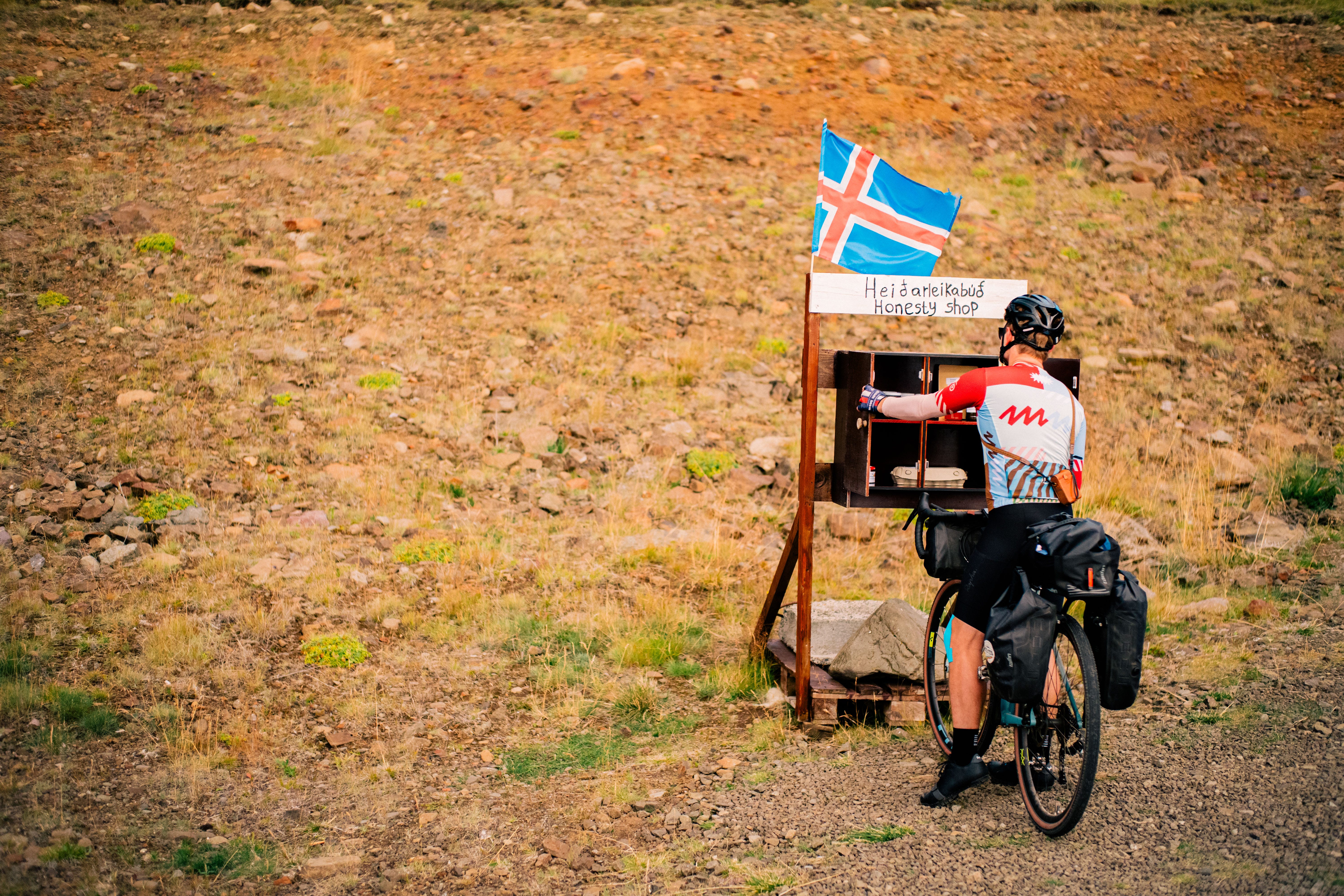
The Westfjords is about as remote a cycle route as you can find anywhere on the planet, while still being just in contact enough with civilisation that you don’t have to be completely self-sufficient or carry ten kilos of food and water at any one time.
The landscape is beautiful, there are hardly any cars whatsoever — maybe 15 will pass on a busy day, and all will give you a wide berth. The food is astonishingly good, as long as you plan your stops carefully. You can rent bikes from the Fjord Hub in Ísafjörður, who can also provide logistical and mechanical assistance if there’s any problems with the bikes en route.
Whether you camp or stay in hotels, you will find yourself waking up in some truly, truly stunning places. Few landscapes are comparable to this forgotten corner of Iceland. That said, it’s not an easy cycle. The roads are demanding, and so is the weather. There are kinder places to start if this is your first tour. But if you’re up for the challenge, you’ll be well rewarded.
Where do I start, where do I end, and what’s in between?
The Westfjords Way is a loop starting and finishing in Ísafjörður, the largest town in the region. Population: 2,500. Here there are two places of particular note: The Fjord Hub, where you can rent bikes, and Tjöruhúsið, an excellent all-you-can-eat fish buffet, served straight from the port and housed inside a 17th century fishing hut (their website gives you an idea of how unpretentious they are).
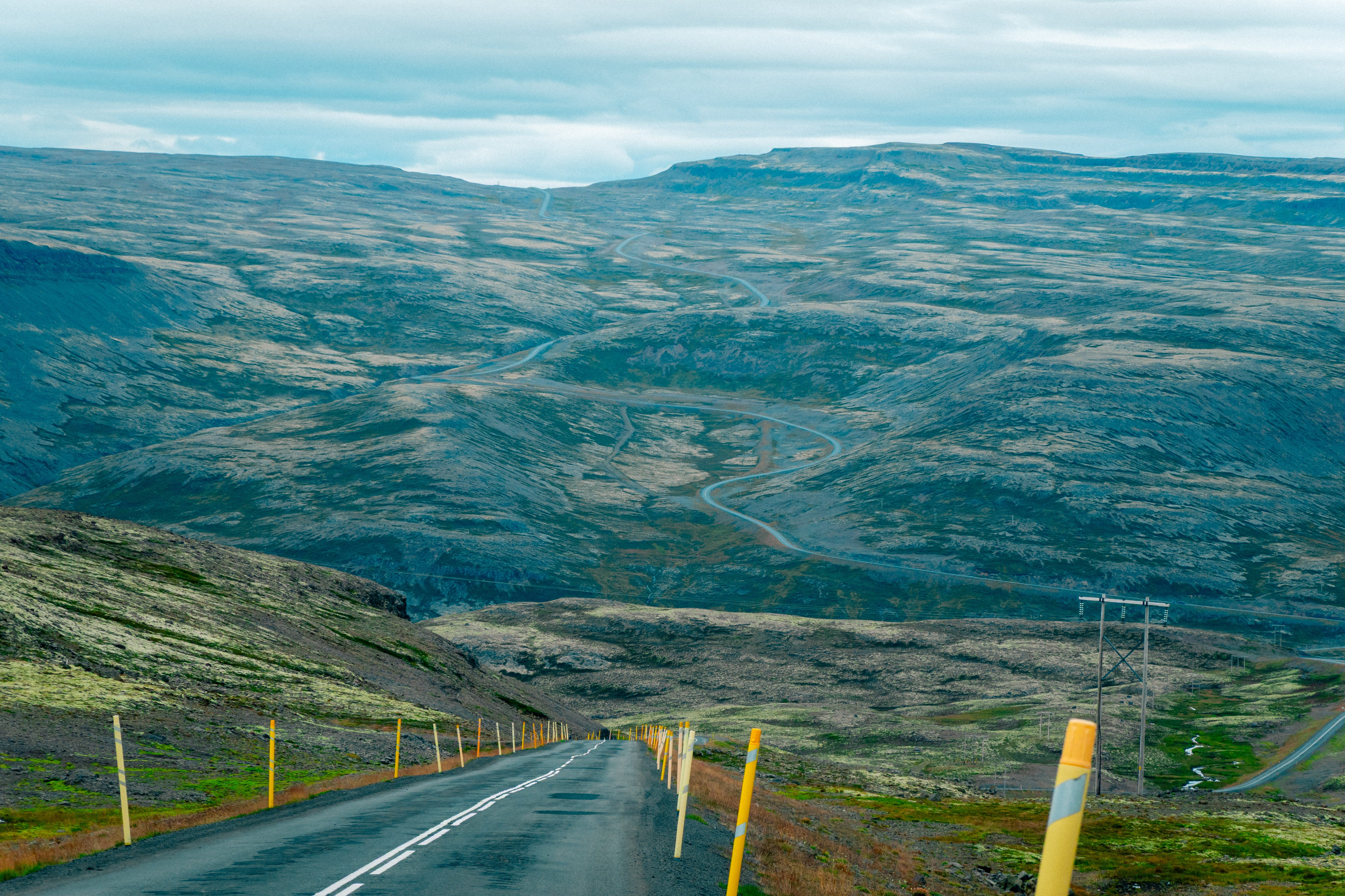
The route was established by adventure photographer Chris Burkhard in 2021, and published to bikepacking.com. The full loop is 925km, and combines gravel and well-paved roads. There are several shortcuts if needed to shorten days, or skip the most technically challenging gravel sections — though these gravel sections also tend to be the prettiest parts of the route. The length of each day is largely be dictated by whether you want to camp or stay in hotels. Hotels are few and far between (roughly every 100-150km), but campsites are more frequent, and allow for shorter days if you desire.
The region is sparsely populated, so you need to be sufficiently well prepared to look after yourself if things do go wrong. There are long stretches with no resupply options (except for water, which you can drink from the waterfalls), and little shelter if the weather turns against you.
The route culminates with the Svalvogar sea road — carved out of the coastline by one determined farmer and his tractor. It is the high point of the trip: beautiful, but inaccessible to all but the most rugged vehicles, with no phone signal, no rescue options, and a boulder-filled track that disappears at high tide.
When should I go?
Unless you want really, really, really unpleasant weather, the cycling season runs from late-June to the end of August. Even in the height of summer, expect to be riding in single digit temperatures (5-10°C) for most days.
We were exceptionally lucky with the weather, and didn’t have any big storms roll through while we were there, but rain and wind can both be a significant challenge on this trip, with the wind strong enough to blow you off your bike on a bad day.
When we spoke to Chris Burkard ahead of the trip, he told us to be prepared to adjust our schedule for the wind. He said if it’s windy at midday and calm at 3am, get up and go at 3am, don’t wait for the wind to pick up. We never had to do anything so extreme, but it gives you an indication of how tough things can get, especially as much of the riding is exposed to the coastline, or high up on the wind-swept plateaus.
The great thing about going mid-summer is the days are really long (18+ of daylight), so you can get up early, and still have plenty of daylight left by the time you finish.
What to Bring
Your bike (optional) - We rented our bikes at the Fjord Hub. They were great quality, though I slightly regret not bringing a bike I was already properly fitted on and used to riding. Whether you rent or bring, you need a gravel bike with thick (40mm+) tires.
Bike Box - If you’re brining your own bike. You can store this at the Fjord Hub
Bikepacking bags/panniers - for carrying your gear, enough space for cold-weather clothes. If you’re renting your bikes, make sure the pannier racks fit with what’s available.
Camping gear - if camping, make sure you have a warm sleeping bag.
Clothes/cycle gear - Enough not to smell. There aren’t any laundry facilities as you go, but you can wash your clothes in rivers/hotel sinks when needed.
Full waterproofs - Waterproof trousers and jacket are a must. I’d recommend waterproof gloves and boot covers too, for when it gets really wet and cold. We also had waterproof socks.
Cold weather gear - The temperature hovers in the low single digits, and can go below freezing.
Suncream - The sun can still burn you, even with the northerly latitude.
Electronics - phone, camera, chargers, GPS device, head torch etc.
Spares & maintenance - tubes, pump, tire levers, oil, Allen keys, chain loop etc. You can call on the Fjord Hub for assistance in the worst case scenario, but it may take them several hours to reach you depending on where you are on the route.
How did you plan your route?
The Westfjords Way was established as a route by Chris Burkard, and you can find the full thing on bikepacking.com. We followed a slightly shortened version to fit with the time we had available, modelled on the Fjord Hub’s 8-day tour package, and our GPX files are linked at the bottom of this article.
The route was generally fantastic. The one thing I’d change if I could would be the length of the first day (140km), which is by far the longest day of the whole trip and doesn't give you much chance to warm-up. The distance is dictated by the lack of hotels en route, and the only way to change this would be to camp somewhere. Be prepared to start hot.
What else should I know?
The route is half tarmac, half gravel, though this may change in coming years as the government seeks to improve transport links in the Westfjords. The gravel sections can come out of nowhere; you’ll be on beautiful tarmac bombing it down a hill, then all of a sudden you see a sign saying “Gravel, 30m” and you have to slam on the brakes to avoid a wipe out. Watch out for this.
None of the mountains stand above 1,000m in the Westfjords, but some of the climbs are incredibly punchy, with gradients pushing 15-20% on gravel. Make sure you have enough gears for your trip.
There are plenty of good shortcuts if you want to shorten days. The main Westfjords Way route sticks to the roads with the fewest cars, but you can snip off a few corners and climbs by adjusting onto the main road if needed, which still has almost no car traffic.
There are also some great hot springs on route — most of which are free to access — and many, many incredible waterfalls. The biggest of all of these is Dynjandi, which is the one place in the Westfjords that actually felt busy.
Food & Drink:
Food was a more important consideration in the Westfjords than on my previous trips. There are long (100km+) sections with no resupply options of any sort, so make sure you look up which days you need to carry proper food, and which days you can get by on just carrying snacks.
If you’re relying on cafes and restaurants, make sure you plan your route to coincide with their opening hours. Many open late and shut early, even in the height of summer. There is a supermarket roughly every two days. Most hotels have a restaurant attached, but hotels can be 100km or more apart. I’ve marked restaurants and supermarkets on the route map below.
For water, you can fill up en route from free flowing rivers and streams.
POIs:
Dynjandi Waterfall — 100m tall, falling from a high plateau to the sea, a must visit.
Tjöruhúsið - Ísafjörður’s all-you-can-eat fish restaurant, a place to celebrate the end of your ride, or to feed at the beginning.
Litlibaer - the first waffle shop you reach from Ísafjörður, a necessary pit stop.
Holmavik pizza shop - really solid pizza near the Witchcraft museum.
Reykjafjarðarlaug Hot Spring - Great little hot spring on the way to Dynjandi.
Svalvogar - the mythical sea road, the most remote and intense part of the trip
Simbahöllin Waffle Shop - the waffle shop at the far end of Svalvogar, amazing waffles.
The descent into Bíldudalur - one of my favourite descents ever.
Hotels & Camping
We used the hotels suggested in the Fjord Hub’s 8-day tour. There aren’t many hotels in the Westfjords, so you’re kind of stuck with these options whether you like it or not. Luckily, we found all the accommodation to be excellent, with good food and hot springs.
We bumped into a group who were camping the whole thing, who seemed to be having a great (if significantly wetter) time.
Wildlife
Iceland is a paradise for sea birds, and also for sheep (farmed). These are the main animals you’ll see en route. If you’re lucky you may also see Arctic foxes (Iceland’s only native land mammal), whales, and you’ll almost certainly see some seals as you go.
My Route
Below, you’ll find a link to all my GPX files of my route. This guide is free of charge. If you find it useful, and can afford to, please consider supporting my next adventure, thank you. On this Substack, you can also find my guides to cycling the length of Japan, and the length of the UK.
GPX files: Dropbox. Pretty maps: Strava. Macro view of the route: Google maps
For detailed planning and tour services, including arranging a car-supported tour, contact Tyler Wacker at the Fjord Hub, who helped us organise all of our logistics and hotels, and was fantastic throughout. It’s a great local business, and I encourage you to support them if you’re heading out to the Westfjords.
A gift—